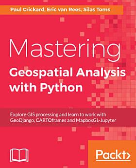
Mastering Geospatial Analysis with Python: Explore GIS processing and learn to work with GeoDjango, CARTOframes and MapboxGL-Jupyter
About this ebook
- [*] Analyze and process geospatial data using Python libraries such as; Anaconda, GeoPandas
- [*] Leverage new ArcGIS API to process geospatial data for the cloud.
- [*] Explore various Python geospatial web and machine learning frameworks.
- [*] Manage code libraries and abstract geospatial analysis techniques using Python 3.
- [*] Explore popular code libraries that perform specific tasks for geospatial analysis.
- [*] Utilize code libraries for data conversion, data management, web maps, and REST API creation.
- [*] Learn techniques related to processing geospatial data in the cloud.
- [*] Leverage features of Python 3 with geospatial databases such as PostGIS, SQL Server, and SpatiaLite.
The audience for this book includes students, developers, and geospatial professionals who need a reference book that covers GIS data management, analysis, and automation techniques with code libraries built in Python 3.
Discover more
Ratings and reviews
About the author
Silas Toms is a certified GIS Professional and the author of the first edition of ArcPy and ArcGIS. President and founder of Loki Intelligent Corporation, a location information firm located in San Francisco, California, he is an expert in real-time geographic information systems and analysis automation. Along with Dara O'Beirne and Arini Geographics, he developed the real-time common operational picture used at Super Bowl 50 and all other events at Levi's Stadium in Santa Clara, California. This dynamic system was recognized by the White House and ESRI President, Jack Dangermond, as a unique and powerful application of GIS, allowing the federal, state, and local government to coordinate and communicate in real time, for the first time ever. As the President of Loki Intelligent, Silas is focused on unique applications of GIS that will power the future of location information. The sheer amount of data collected through sensors and mobile reporting demands automation and data processing improvements to turn the raw input into location intelligence. He believes that correct application of geospatial analysis, web mapping, and mobile data collection will improve the decision-making processes within the government and business. Loki is location information, and information is power.
Paul Crickard authored a book on the Leaflet JavaScript module. He has been programming for over 15 years and has focused on GIS and geospatial programming for 7 years. He spent 3 years working as a planner at an architecture firm, where he combined GIS with Building Information Modeling (BIM) and CAD. Currently, he is the CIO at the 2nd Judicial District Attorney's Office in New Mexico.
Eric van Rees was first introduced to Geographical Information Systems (GIS) when studying Human Geography in the Netherlands. For 9 years, he was the editor-in-chief of GeoInformatics, an international GIS, surveying, and mapping publication and a contributing editor of GIS Magazine. During that tenure, he visited many geospatial user conferences, trade fairs, and industry meetings. He focuses on producing technical content, such as software tutorials, tech blogs, and innovative new use cases in the mapping industry.