
GPX Viewer: Hike & Bike
Contient des annoncesAchats via l'appli

star
51,9K avis

PEGI 3
info
5M+
Téléchargements


À propos de l'application
🌍 POWERFUL GPS MAPS AND GPX NAVIGATION FOR YOUR OUTDOOR ADVENTURES
View GPX, KML, KMZ and LOC files with ease and explore the world using advanced GPS tools in this hiking trail app.
Plan routes, analyze tracks and navigate confidently during hiking, cycling, travel and other outdoor activities.
GPX Viewer combines powerful track analysis, detailed maps and simple navigation into one easy-to-use app trusted by outdoor enthusiasts worldwide.
🧭 VIEW AND MANAGE GPX, KML, KMZ AND LOC FILES
• Open tracks, routes and waypoints from GPX, KML, KMZ and LOC files
• Built-in file browser with support for multiple files, favorites and history
• Compress GPX files to GPZ and KML files to KMZ archives
📊 DETAILED TRIP STATISTICS AND TRACK ANALYSIS
• Analyze distance, speed, elevation gain and other trip statistics
• View elevation and speed charts for tracks and routes
• Support for advanced data such as cadence, heart rate, power and temperature
• Customize track and route colors
• Colorize tracks by elevation, speed or sensor data
🗺️ ONLINE MAPS FOR WORLDWIDE NAVIGATION
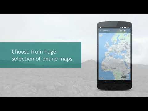
• Use popular online maps based on OpenStreetMap data
• Add custom TMS or WMS map sources
• Choose from multiple map styles optimized for city or outdoor use
• Receive regular map updates with improved data
📍 SIMPLE AND RELIABLE GPS NAVIGATION
• See your real-time GPS position on the map
• Automatically follow your movement during activities
• Rotate the map according to device orientation or travel direction
• Get notified when approaching waypoints
Perfect for hiking, trekking, cycling, mountain biking, trail running and travel navigation.
📘 TRACKBOOK INTEGRATION
• Synchronize tracks and waypoints created on Trackbook - https://trackbook.com
⚙️ HIGHLY CUSTOMIZABLE GPS NAVIGATION EXPERIENCE
Adjust maps, navigation behavior, track recording and display settings to match your needs.
Whether you are a beginner explorer or experienced outdoor athlete, GPX Viewer helps you navigate with confidence.
🚀 START EXPLORING NEW ROUTES TODAY
Turn your device into a powerful GPS companion for outdoor navigation, route planning and track analysis.
Download GPX Viewer and enjoy your adventures with reliable GPS maps.
GPS maps for your GPX, KML tracks, routes and your outdoor activities
Date de mise à jour
La sécurité, c'est d'abord comprendre comment les développeurs collectent et partagent vos données. Les pratiques concernant leur confidentialité et leur protection peuvent varier selon votre utilisation, votre région et votre âge. Le développeur a fourni ces informations et peut les modifier ultérieurement.
- Cette appli peut partager ces types de données avec des tiersActivité dans l'application, Infos et performance des applis, ID de l'appareil ou autres ID
- Cette appli peut recueillir ces types de donnéesInformations personnelles, Activité dans l'application
- Les données sont chiffrées lors de leur transfert
- Vous pouvez demander la suppression des données


Notes et avis
49,3K avis
Nouveautés
• PRO Updated Topo offline map style
• Small improvements for graph below map value legends
• Updated 3rd party libraries
• Fixed issues with showing distance icons and direction icons for tracks
• Small improvements for graph below map value legends
• Updated 3rd party libraries
• Fixed issues with showing distance icons and direction icons for tracks
Assistance de l'appli
À propos du développeur
Vectura Games OU
hello@vecturagames.com
Sepapaja tn 6
15551 Tallinn
Estonia
+421 950 410 660


